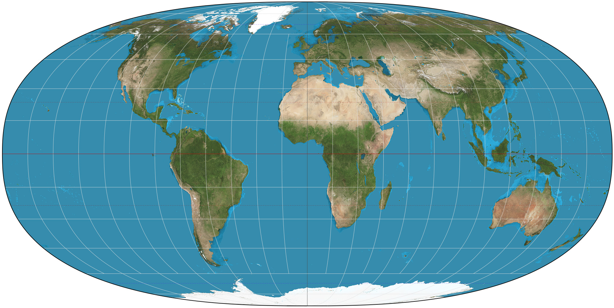
Year of independence of North African countries During the 1950s and 1960s, and into the 1970s, all of the North African states gained independence from…
View More Year of independence of North African countries with map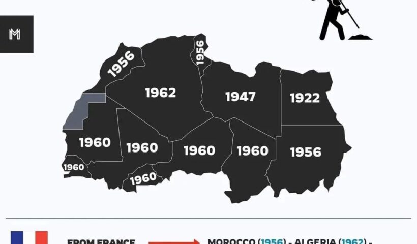
Year of independence of North African countries with map
IILSS 11th February 2023
Are any countries in Africa still colonized?How long did Britain control Africa?How many African countries achieved independence in the Year of Africa?How many African countries are independent?How many African countries did the British colonized?How many African nations were independent by the end of the 1960s?What 17 African countries gained their independence in 1960?What 2 African states remained independent and how?What are the 7 European countries that colonized Africa?What countries kept their independence in Africa by 1914?What two African countries were the only countries to keep their independence?What was South Africa called before 1961?What was the first North African country to gain independence?What was the last country in Africa to gain independence?What were the two independent African countries in 1913?What year did 17 African countries become independent?When did African countries gain independence from Britain?When did northern Africa gain independence?Which African countries gained independence in 1961?Which African country gained independence in 1964?Which African nations became independent after 1965?Which country was first colonized in Africa?Which country was not colonized in Africa?Which is the first country to gain independence?Which three African countries gained independence?Who named Africa?Who owned most of Africa in 1914?Why did Britain give up Africa?Why is 1960 called the Year of Africa?Why was Africa called Ethiopia?