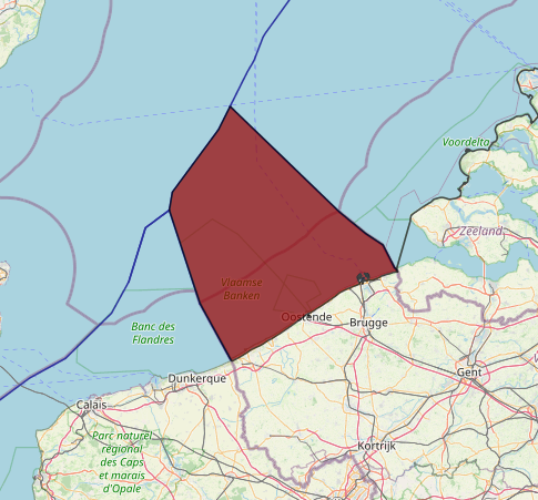
Belgium faces the sea for about 4.5% of its total boundaries. Its outlet to the southern North Sea, as a result, only measures 66.5 km. This coastline between the French border to the south and the Dutch border to the north, is rather straight. The soil and subsoil of the sea facing this Belgian coast form part of the unitary geographical continental shelf of the North Sea, stretching from north of the Shetland Islands to the English Channel. Located south of the Texel-Humber threshold, the part facing Belgium is characterized by its shallow nature and the presence of numerous sandbanks. This part of the continental shelf is located on the so-called London-Brabant Platform which formed a stable massif throughout geological times and remained usually above sea-level when other parts were covered by the sea. The rich gas and oil-generating sediments to be found to the north of this massif are therefore not present.
The Belgian coast has a semi-diurnal tide which increases from northeast to southwest. The combination of the low gradient between the low-water line and the high-water line on the one hand, and the sandy character of the coast, as preserved by the tides, currents and waves on the other, makes the Belgian coast very attractive from a tourist point of view.
For some time now, about half of ail overnight stays in Belgium have been in this particular area. Erosion forces have nevertheless urged the Belgian government to invest substantial financial resources to safeguard this natural point of attraction, as demonstrated by the spectacular raising of the beaches of Knokke and Heist by 3 to 4 m over a distance of about 8 km during the 1980s.
Belgium officially became a federal State in 1993. This transition from a unitary to a federal State started in 1970 when a constitutional amendment divided Belgium into three communities (the Flemish, French and German Communities) and three regions (Flemish, Walloon and Brussels Region).
Tf’S novel structural concept was mainly implemented by means of a special law on the institutional reforms of 1980’ as later amended in 19882 and finalized in 1993.3 For some aspects of this study, as will be seen below, these changes are important.
Belgium voted in favor of the UN. General Assembly Resolution adopting the Agreement Relating to the Implementation of Part XI of the Law of the Sea Convention on 28 July 1994 and signed the Agreement on 29 July. Belgium also applies the Agreement on a provisional basis starting from 16 November 1994, The procedure of ratification, as well of the Agreement as of the Convention, has already been started. It lies in the intention of Belgium to consider both documents together. Since however this is a so- called “mixed” agreement, i.e. that according to our new federal State structure the three Regions as well as the federal level itself are competent, the approval of these four entities will be needed before ratification can be considered.
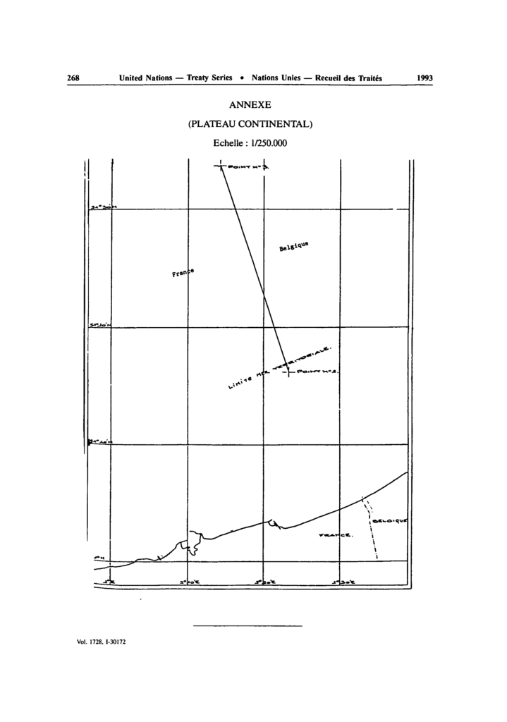
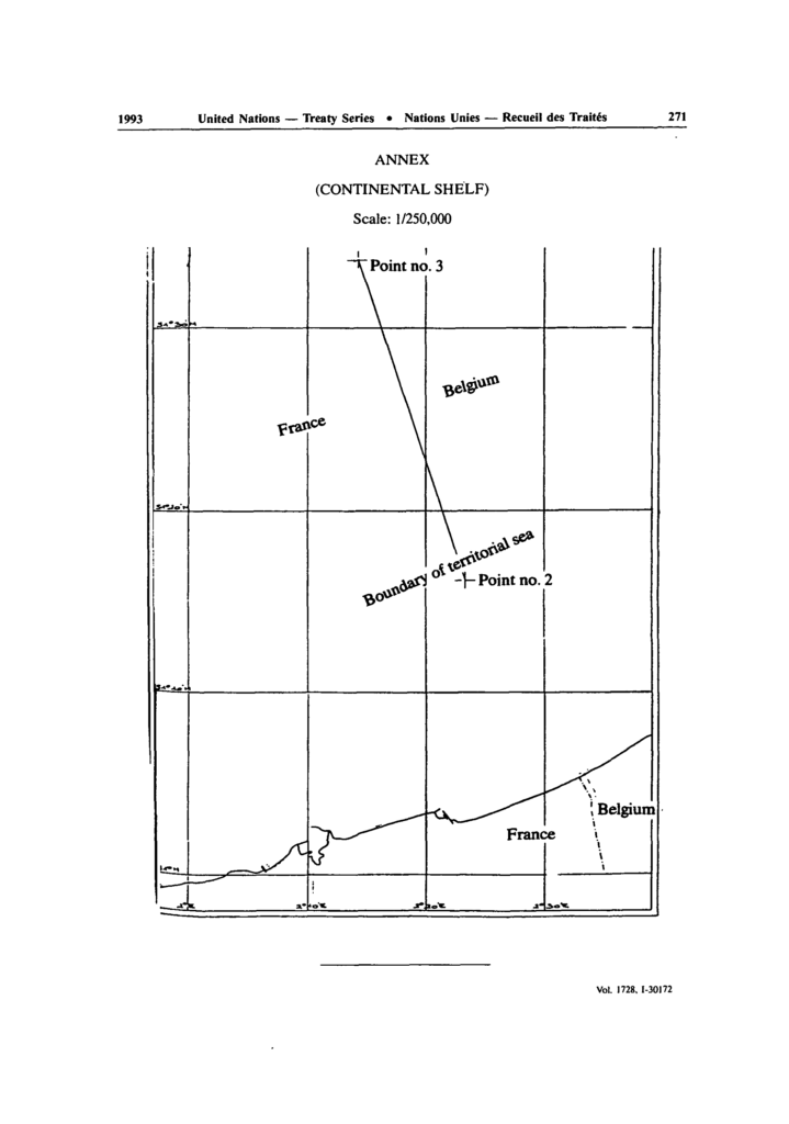
An example of the difficulties that can arise in terms of maritime boundary delimitation related to the choice of tidal datum concerns a long-running dispute between Belgium and France. France used the lowest astronomical tide as its chart datum for determining the low-water line. In contrast, Belgium used the mean low-water spring tides as the datum for the construction of its charts. In effect the French datum represented a low tidal level rarely reached, while the Belgian datum was an average low-tide level measured over the internationally accepted tidal period of 18 and two-thirds years. The less conservative Belgian tidal datum was approximately 30 centimetres higher than that used by France.
The dispute between the two states rested on the suitability of a feature called the Banc Breedt, located 2.5 nm off the French coast as a territorial sea basepoint. Under the French datum, Banc Breedt qualified as a low-tide elevation.
Under the Belgian datum, however, the feature was permanently below the low water level and was therefore unsuitable for use as a basepoint in constructing the territorial sea boundary between the two sides. The dispute was eventually resolved in 1990 by splitting the difference between two delimitation lines constructed, one using the Banc Breedt as a basepoint and one ignoring it.