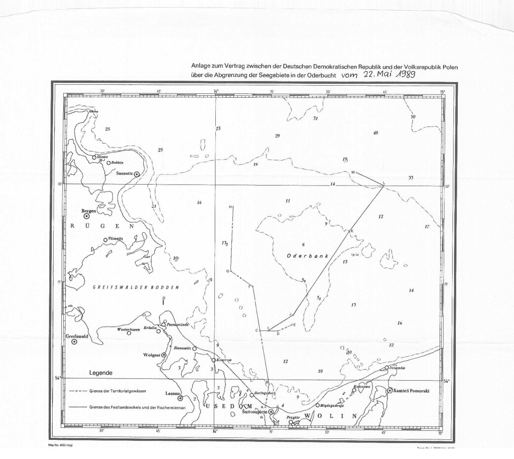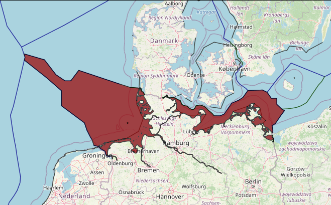
The Agreement between the German Democratic Republic and Poland signed in 1989 provides for a single maritime boundary for both the continental shelf and the fishing zone which is different from the boundary established for the continental shelf under the previous Agreement of 1968.
There are a few cases in which the Parties to an agreement delimiting the continental shelf have renegotiated the boundary after the proclamation of an exclusive economic zone. This is the case of the delimitation between the
Democratic Republic of Germany (today Germany) and Poland. The two countries had delimited their continental shelf in the Baltic Sea in 1968. In 1989, however, after the institution of fisheries zones, they negotiated a new boundary
for the delimitation of the continental shelf and of the fisheries zone.
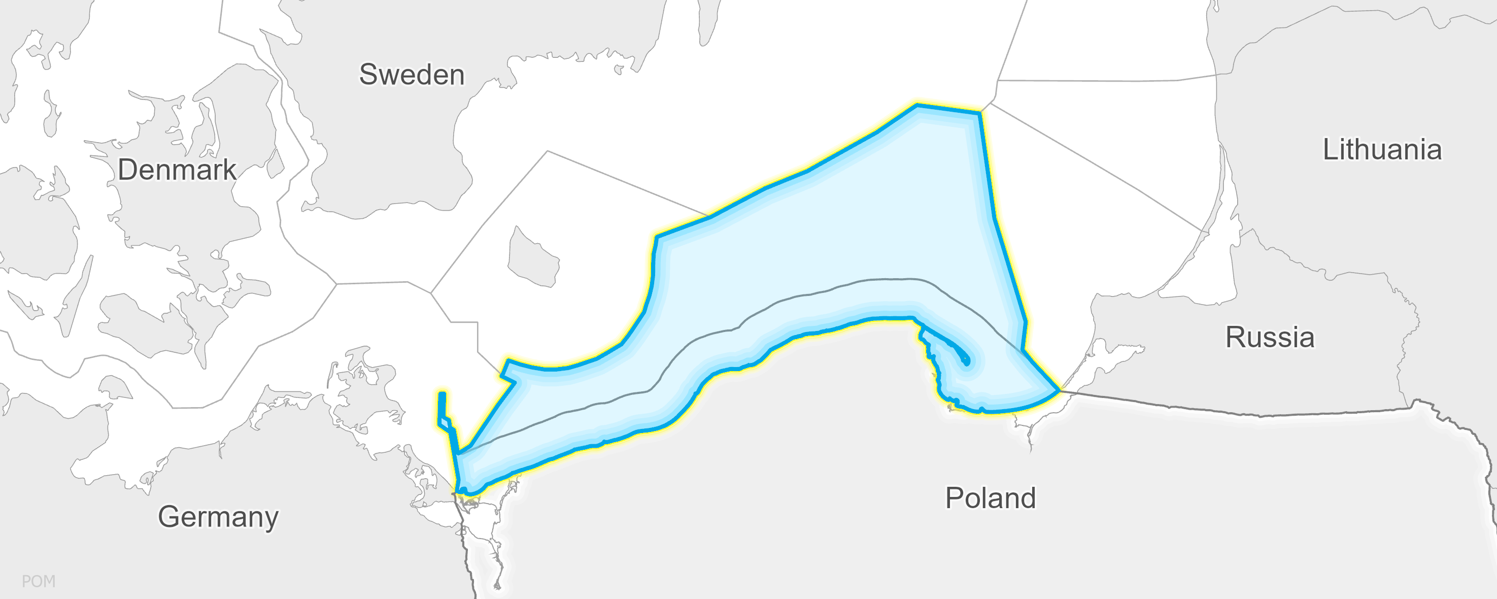
According to the 1989 Agreement, a new boundary has been adopted, which applies to the delimitation of both the fisheries zones and the continental shelves. The most remarkable point is that the 1968 line was an equidistance
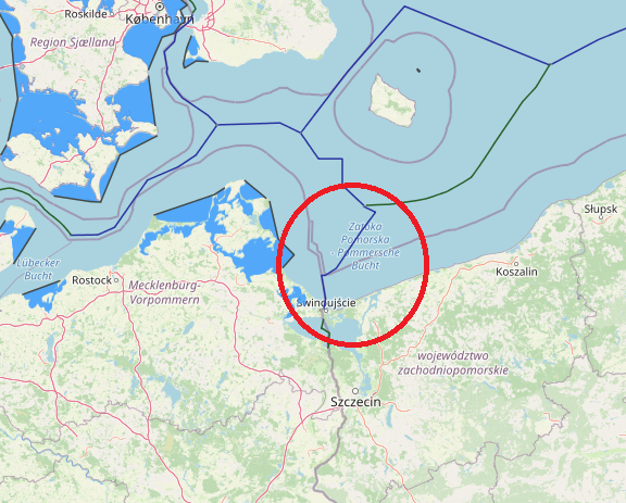
line; it was not considered applicable, however, to the delimitation of the superjacent waters because it would attribute to the German part of the area the two main navigational channels that lead to the Polish ports of Szczecin and
Swinoujscie. In this case, therefore, a seabed boundary was not considered applicable, and a new boundary was determined in order to take account of circumstances relating to the water column (in this specific case, navigational circumstances).