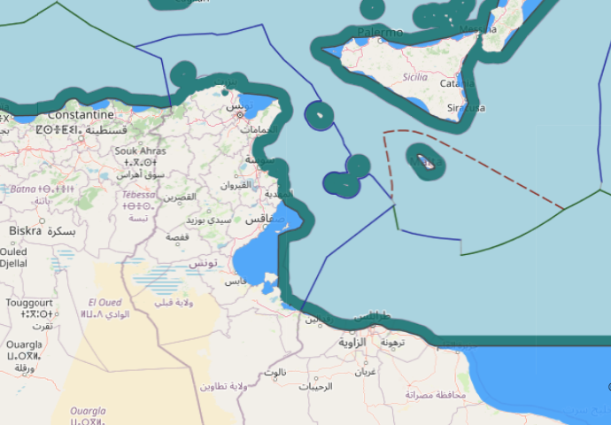
The geography of the area of delimitation in this case is characterized
by a large triangular indentation of the North African coast between Ras
Kaboudia, Tunisia and Ras Tajoura, Libya. The area of the common land
boundary is fairly even and straight in the direction of the coastline.
Further north-west, though, the island of Jerba (Jazirat Jarbah), the
significant concavity of the Gulf of Gabes (Kalij Qabis), the almost
rectangular change of direction of the coast within the Gulf, and finally
the archipelago of the Kerkennah Islands (Juzur Qarquanna) are
prominent features of the area. These constitute the complicating
geographical elements that led to this dispute.
Tunisia and Libya both granted offshore oil concessions in the
boundary area since 1964 and 1968, respectively, but did so without
a delimitation of the shelf. Until 1972, both states took into account a
26-degree line when they granted concessions, as this line had been
used since 1913 (and more formally since 1919) as a modus vivendi for
purposes of offshore fishing activities. In 1974, a Tunisian concession
applied equidistance, while Libya continued to draw the area of the
concession along the 26-degree line. The result was an overlapping of
claims in an area 50 miles from the coast. In 1977, following mutual
protests and cursory diplomatic intercourse, the matter was submitted
to the ICJ. In the special agreement, the Court was asked to declare the
principles and rules of international law which may be applied for the
delimitation, taking into account equitable principles and relevant
circumstances, as well as the then ‘recent trends’ recognized at
UNCLOS III. The Court was not asked to draw a boundary line itself,
but was to formulate its order sufficiently precisely so as to allow a
technical delimitation by experts without any difficulties. Neither
state was a party to the 1958 Shelf Convention. Both viewed equidistance
as an unsuitable approach under the particular configuration
of the case. Instead, both parties to the dispute primarily relied
on geological and geomorphological evidence and theories, in the
application of the principle of natural prolongation as expounded by
the Court in the 1969 North Sea cases.
Tunisia argued that the area in dispute, the Pellagian Sea, is an easterly
extension of ‘submerged Tunisia’ in geological terms. Relying on minor
geological features (ridges, furrows) and, in a second line of arguments,
on geography and geometrical constructions, Tunisia claimed a so-called
sheaf of lines that extended within a range of 60 to 63 degrees east-northeast.
At the same time, based on an historic title of sponge fishing,
Tunisia claimed the entire Gulf of Gabes as its territorial sea to the
50 metre isobath, and delimited against Libya by a 45 degree line
(zénith verticale) established for the purposes of maritime surveillance.
Libya, on the other hand, relied upon the then-recently developed
theory of plate tectonics that characterized the shelf off the Libyan
coast as a ‘northward thrust’ of the African land mass. Under this
theory, Libya claimed a boundary in a northward direction in a first
segment. A second segment reflected the coastline of Tunisia and
extended parallel to the general direction of that coast without taking
into account the archipelago of the Kerkennahs.
The Court dismissed the geological and geomorphological facts as
irrelevant. Instead, it relied on geographical considerations and
human factors relating to the previous conduct of the parties. The
judgment separated the boundary area into two sectors. The first, closer
to the land, begins at the outer limit of the territorial sea. It follows the
traditional line of modus vivendi of approximately 26 degrees east of
north, linking the intersection of the land boundary at Ras Ajdir and the
co-ordinate 33° 55’ N, 12° E, accepted as being the south-western point of
a Libyan concession (a fact later disputed in 198542).
A second sector reflects the radical change of the coastline in the Gulf
of Gabes. The maritime boundary runs at a bearing of approximately
52 degrees to the meridian. This line was established as a parallel to a
line drawn from the most westerly point of the Gulf of Gabes, bisecting
an angle formed by a line from that point to Ras Kaboudia and a line
drawn from the same point along the Kerkennah Islands. It thereby
gave half-effect to that archipelago. The line ran seaward without
delimitation, given the fact that the boundary between Libya and
Malta was still pending. The result appears as an intermediate solution
between the claims of the parties, but the judgment provided a boundary
line leaving practically no discretion for further negotiations of the
parties.
There was disagreement over whether a correct understanding of the
special agreement should include the task of precisely specifying
the practical method of application of the relevant principles and rules.
The Court found its task to be somewhere between the North Sea cases
and the Channel arbitration. It construed the compromise rather
extensively, in such a way that the only remaining negotiations could
be for the technical details of implementation. Indeed, the first segment
was precisely defined by linking two specific points. The second segment
was defined at a bearing of 52 degrees to the meridian, and only the exact
base points to construct such a line were left to the parties to define.
Libya objected to the Court playing an activist role. This is one of the
reasons why no agreement was reached following the judgment.
Neither was Tunisia content with the result achieved. In 1984 it filed
an application for revision in accordance with Article 61 and for an
interpretation based on Article 60 of the Statute of the ICJ. It requested
a correction of the judgment, but did not challenge the basic methods
and approach applied by the Court in 1982. Tunisia argued that the
point 33° 55’ E, 12° N did not accurately define the westerly limits of
Libyan concessions. The line of approximately 26 degrees to the north
created overlaps. This, it argued, was contrary to the rationale of the
ruling, which should correspond to the angle of the north-western
boundary of existing Libyan concessions and align on the south-eastern
boundary of Tunisian oil concessions. It asked the Court to replace that
point with the co-ordinates; 33° 50’ 17” N, 11° 59’ 53” E, the real southwestern
corner of the relevant Libyan concession, resulting in a line of
24° 75’ 03” east of north, instead of 26 degrees.
Moreover, Tunisia sought a judicial declaration that the most westerly
point of the Tunisian coastline between Ras Kaboudia and Ras Ajdir be
the base point of the most westerly point on the shore lines (low-water
mark) of the Gulf of Gabes at 34° 05’ 20” N (Cartage). Subsidiarily, it
requested the Court to order an expert survey. Libya argued the inadmissibility
of the revision on substantive and jurisdictional grounds.
The Court unanimously rejected the arguments of Tunisia on several
grounds. Although it is quite evident that the 1982 Court was not aware
of the true boundaries of the oil concessions and that the overlaps were
created unintentionally, the existence of a new fact was denied, since
Tunisia could have presented it to the Court on the basis of existing
materials. Moreover, the Court stated that the point in dispute was nota
decisive factor for Article 61 of the ICJ Statute. The line of approximately
26 degrees east of the meridian primarily reflects the de facto
maritime limit respected by the parties prior to 1974 and an element of a
reasonable degree of proportionality. The Court, however, accepted the
job of clarifying the most westerly point of the Gulf of Gabes, but
reconfirmed that its determination was a matter to be defined by experts
in accordance with the 1982 judgment. It denied its authority to order an
expert survey.
In 1988, Libya and Tunisia signed three agreements: one concerning
the implementation of the 1982 ICJ judgment; one creating a joint
venture for oil research and exploitation; and one on the financing of
joint projects by percentage of oil revenues.