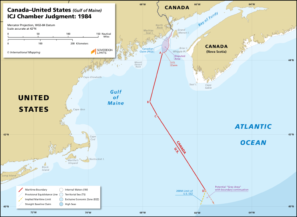
United States of America and Canada boundaries in Atlantic ocean focusing on the gulf of maine. The maritime boundary between Canada and the United States in the Gulf of Maine was established following the Decision handed down by a Chamber of the International Court of Justice in 1984. A lingering territorial dispute over Machias Seal Island and North Rock has left a small maritime area near the land boundary terminus undelimited. The 1984 Decision also stopped short of reaching Canada’s 200 M limit, thus creating a potential “grey zone” situation if the final segment (C–D) were to be extended.
OVERVIEW OF THE CASE
On 25 November 1981, Canada and the United States notified to the Court a Special Agreement whereby they referred to a Chamber of the Court the question of the delimitation of the maritime boundary dividing the continental shelf and fisheries zones of the two Parties in the Gulf of Maine area. This Chamber was constituted by an Order of 20 January 1982, and it was the first time that a case had been heard by an ad hoc Chamber of the Court.
The Chamber delivered its Judgment on 12 October 1984. Having established its jurisdiction and defined the area to be delimited, it reviewed the origin and development of the dispute and laid down the principles and rules of international law governing the issue. It indicated that the delimitation was to be effected by the application of equitable criteria and by the use of practical methods capable of ensuring, with regard to the geographical configuration of the area and the other relevant circumstances, an equitable result. It rejected the delimitation lines proposed by the Parties, and defined the criteria and methods which it considered to be applicable to the single delimitation line which it was asked to draw. It applied criteria of a primarily geographical nature, and used geometrical methods appropriate both for the delimitation of the sea-bed and for that of the superjacent waters. As for the plotting of the delimitation line, the Chamber distinguished between three segments, the first two lying within the Gulf of Maine and the third outside it. In the case of the first segment, it considered that there was no special circumstance precluding the division into equal parts of the overlapping of the maritime projections of the two States’ coasts. The delimitation line runs from the starting-point agreed between the Parties, and is the bisector of the angle formed by the perpendicular to the coastal line running from Cape Elizabeth to the existing boundary terminus and the perpendicular to the coastal line running from that boundary terminus to Cape Sable. For the second segment, the Chamber considered that, in view of the quasi-parallelism between the coasts of Nova Scotia and Massachusetts, a median line should be drawn approximately parallel to the two opposite coasts, and should then be corrected to take account of (a) the difference in length between the coasts of the two States abutting on the delimitation area and (b) the presence of Seal Island off the coast of Nova Scotia. The delimitation line corresponds to the corrected median line from its intersection with the above-mentioned bisector to the point where it reaches the closing line of the Gulf. The third segment is situated in the open ocean, and consists of a perpendicular to the closing line of the Gulf from the point at which the corrected median line intersects with that line. The terminus of this final segment lies within the triangle defined by the Parties and coincides with the last point of overlapping of the respective 200-mile zones claimed by the two States. The co-ordinates of the line drawn by the Chamber are given in the operative part of the Judgment.
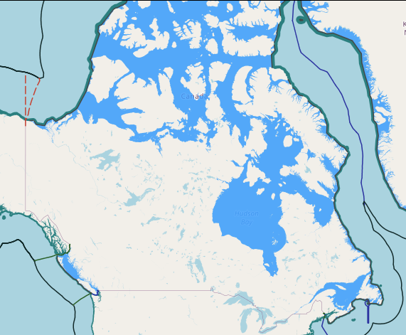
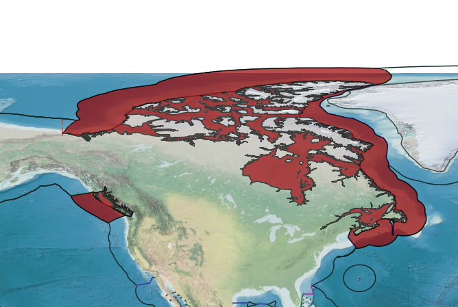
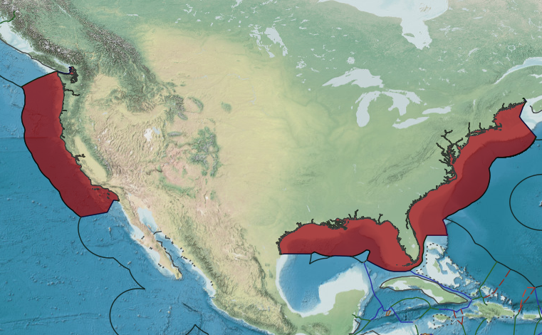
CANADA: STRAIGHT BASELINE CLAIM
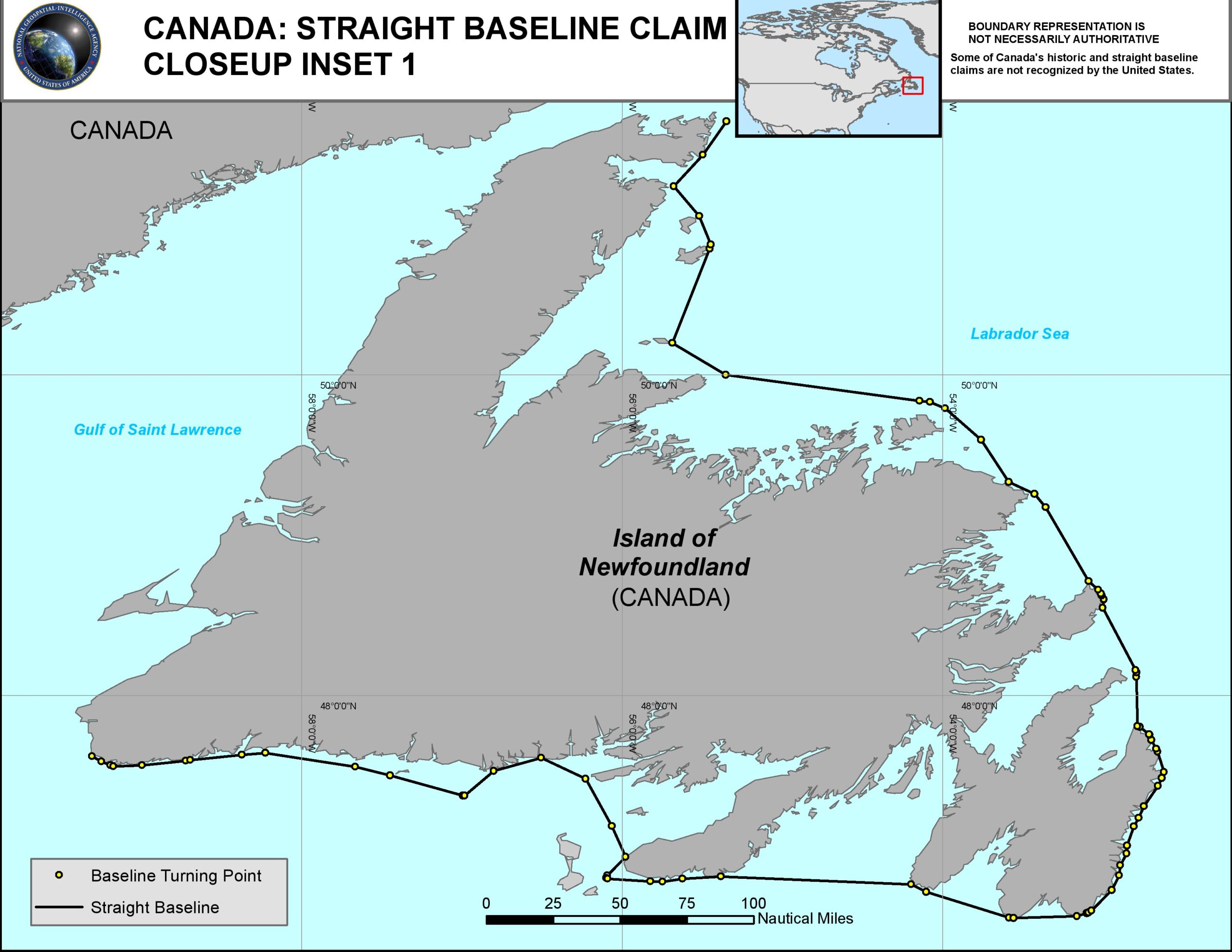
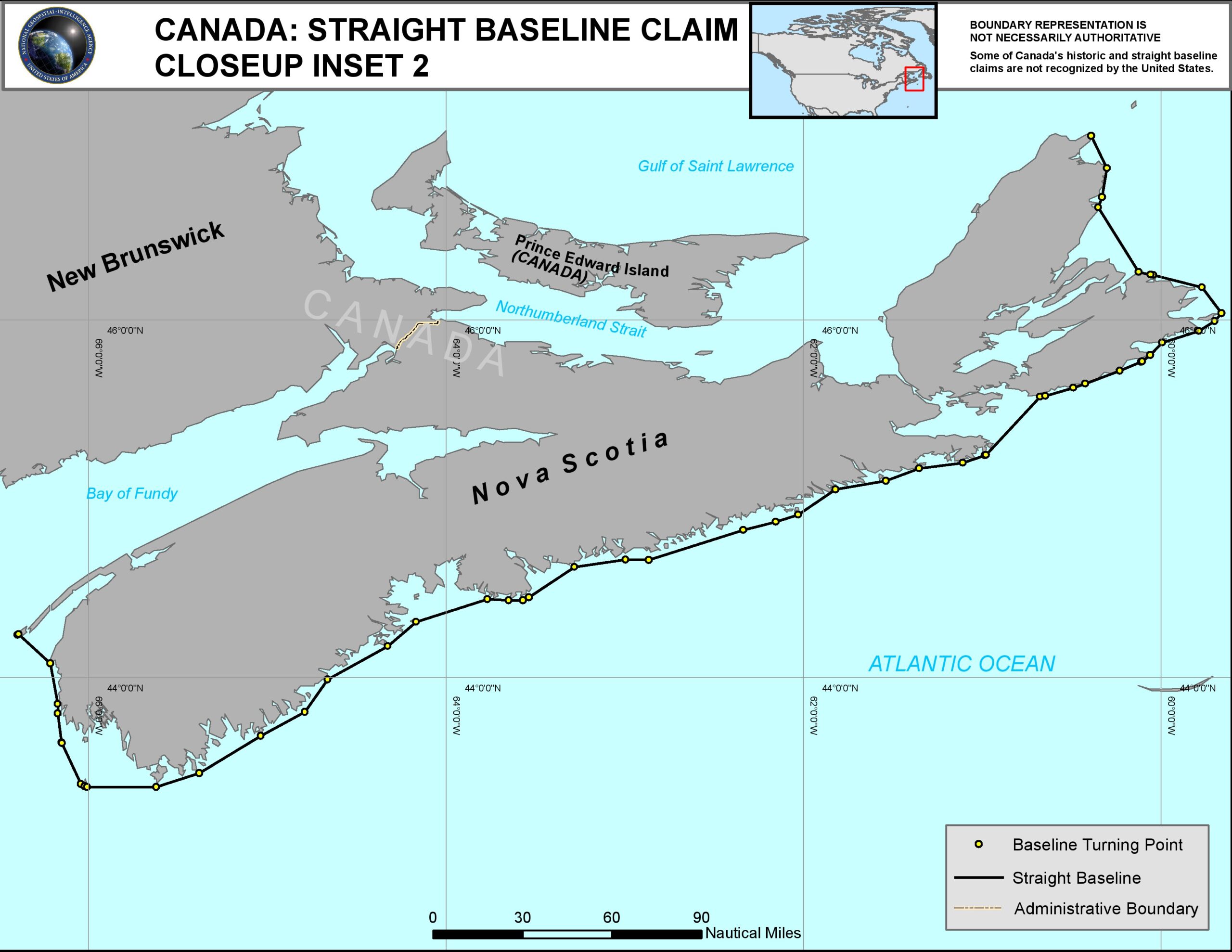
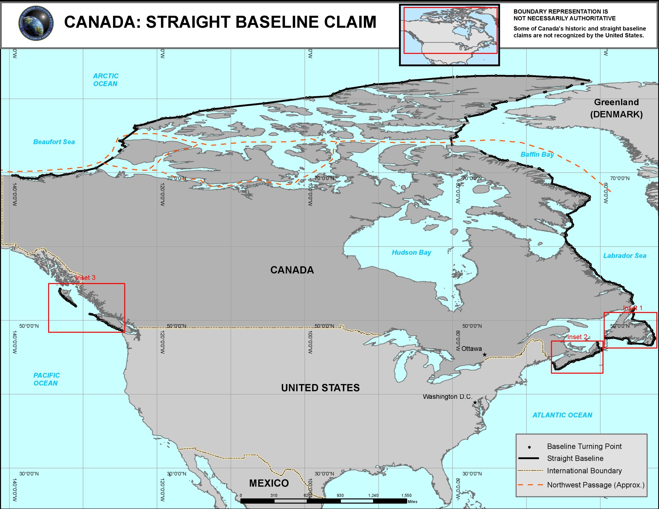
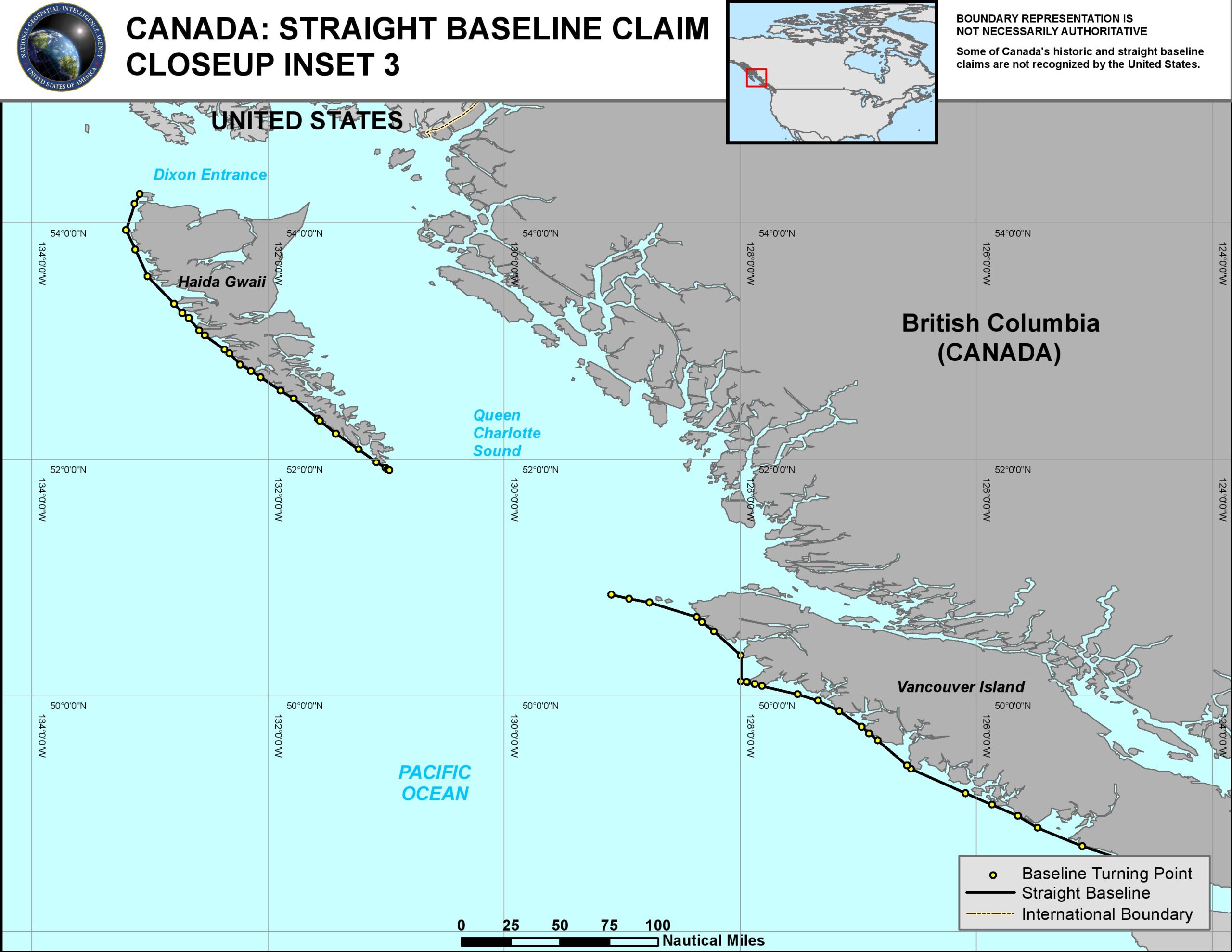
Canada straight baseline system based on The Territorial Sea Geographical Co-ordinates (Area 7)Order of 10 September 1985