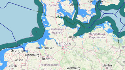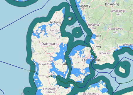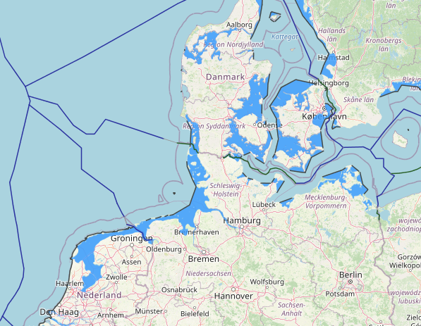
The Kingdom of Denmark has existed with its current territory since 1920. The only land border of Denmark (proper) is that with Germany, with a length of 68 km (42 mi). The border along the territorial waters (12 nmi (22 km; 14 mi) zone) with Sweden runs along the Øresund for a length of about 115 km (71 mi).
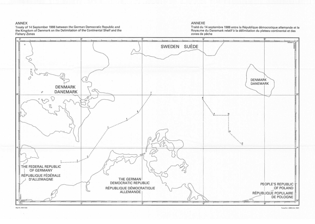
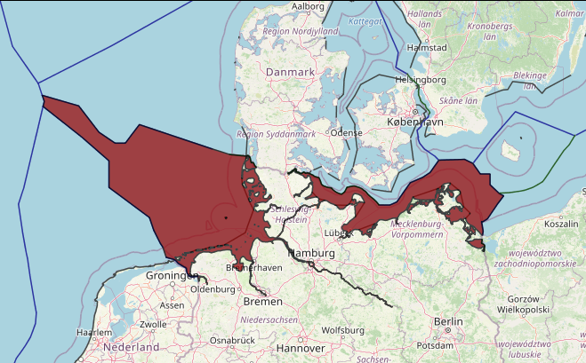
The exclusive economic zone (EEZ, 200 nmi (370 km; 230 mi) zone) of the Kingdom of Denmark (Greenland, Denmark (proper), Faroe Islands) borders those of Germany, the Netherlands, Poland, the United Kingdom, Sweden, Norway, Iceland and Canada. Maritime borders in the Baltic Sea were delineated with West Germany and Sweden in the 1980s and with Poland in 2018.
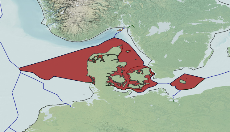
The total area of the Danish EEZ is 105,000 km 2 , where internal marine waters make up 3,500 km 2 , the Territorial Zone (12 nautical miles) 40,000 km 2 and the remainder 61,500 km 2 . The Danish EEZ can be divided into three sub-regions: i) the Danish parts of the North Sea and Skagerrak, ii) the Danish parts of the Kattegat, and iii) the Danish parts of the western Baltic Sea including the marine waters around Bornholm.
In 1963 Denmark was the first mainland state to surround an overseas archipelago, the Faroe Islands, with a set of straight baselines. The archipelago has a roughly triangular shape and the two long sides, measuring 60 nm and 44 nm in length, do not conform to the general direction of the coasts of the outermost islands. Other mainland countries that subsequently surrounded archipelagos include Spain, France, Portugal, Eritrea and China. It must be noted that there are some cases when it is appropriate for the archipelago of a mainland state to be surrounded by straight baselines, however, it is of interest that the first example was established eight years after the 1958 Convention was adopted.