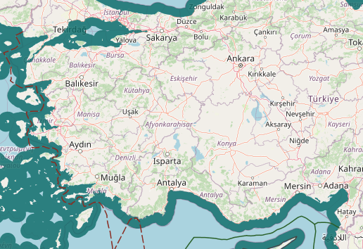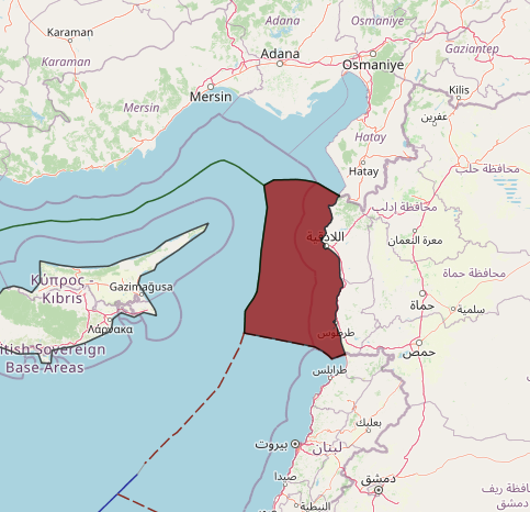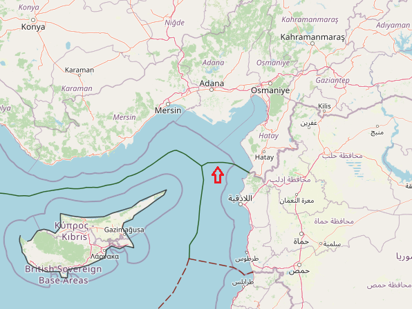
Since Turkey’s 1939 liberation of the Hatay State, the Syrian–Turkish border now touches the Mediterranean coast at Ras al-Bassit, south of Mount Aqra (35.9288°N 35.9178°E). Hatay province borders the Syrian Latakia and Idlib governorates. it is assumed that the Turkish Province of Hatay will remain under the control of Turkey. This Province, known formerly as the Sanjak of Alexandretta, had been under the French administration that also controlled the adjoining mandated territories of Syria and Lebanon from 1921.
In 1936 France sought to reduce her responsibilities in those mandates and Turkey argued that the Sanjak of Alexandretta should be given independence on the terms being negotiated for Syria and Lebanon. In 1938 elections in the Sanjak were won by Turkish delegates and at the first session of the new administration the name of the Republic of Hatay was adopted. The Republic, nominally still associated with Syria, was controlled by Turkey. France agreed in June 1939 that with minor changes the boundary between Hatay and Syria would become the boundary between Turkey and Syria. A month later Hatay became part of Turkey. Since Syrian independence no government has abandoned Syria’s claim to Hatay Province.
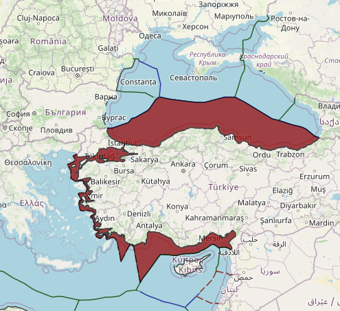
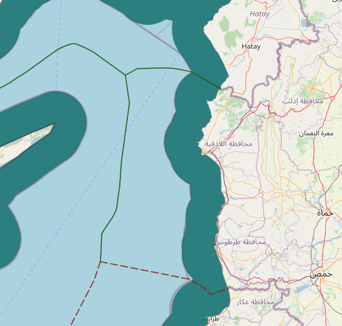
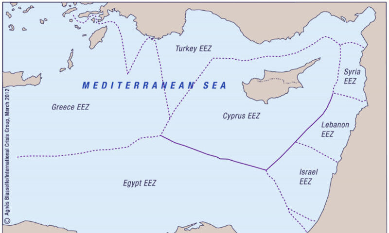
The land boundary between Syria and Turkey reaches the coast in Qasab Bay. The equidistant line is forced northwestwards to Syria’s advantage by Ras el- Basit, a limestone headland. When Turkey’s Ras el-Khanzir comes into range the line of equidistance is directed due west until the trijunction with Cyprus is reached. This trijunction is near 36° 02’ N and 35° 10’ E and the Turco-Syrian boundary extends for about 40 nm. This line appears to be equitable but it will require the question of Hatay Province to be resolved.
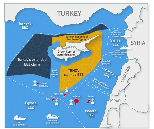
Some Mediterranean countries such as Syria, Turkey, and Israel have not ratified the United Nations Convention on the Law of the Sea (UNCLOS). Although Syria has not signed UNCLOS, they have declared an Exclusive Economic Zone (EEZ),via customary international law.