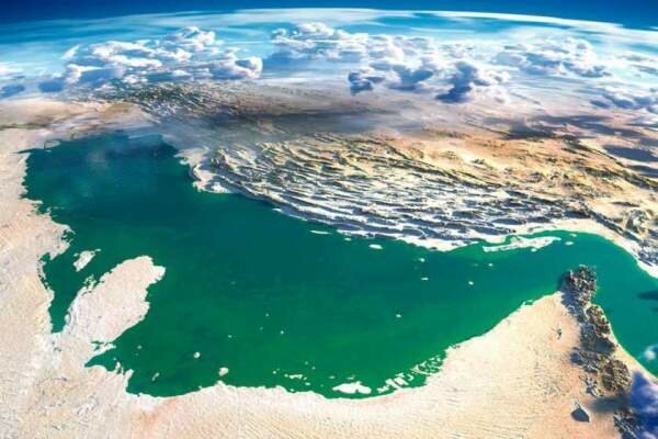
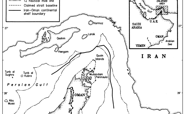
The Persian Gulf is an arm of the Arabian Sea between the mountainous coast of southwestern Iran and the rather flat coast of Arabian Peninsula. The gulf is approximately 1000 km long and 200 to 300 km wide, with an area of about 250,000 km². The inland sea is connected to the Gulf of Oman in the east by the Strait of Hormuz.
View More Persian GulfTag: Strait of Hormuz – Geography
Navigational Regimes of Particular Straits, Hormuz case study
Navigational Regimes of Particular Straits, Hormuz case study, Are the Straits of Hormuz international waters?, Does Iran own the Strait of Hormuz?, Is the Strait of Hormuz dangerous?, Strait of Hormuz, Strait of Hormuz – Geography, strait of hormuz map, the world’s biggest oil chokepoint, Which country controls the Strait of Hormuz?, Why is the Strait of Hormuz a choke point?, Why Strait of Hormuz is important?, Why the Strait of Hormuz Matters to Iran and the World
View More Navigational Regimes of Particular Straits, Hormuz case study

