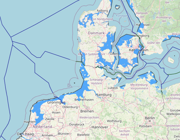
Maritime disputes between Denmark and Germany have existed for centuries, stemming from historical, legal, and geopolitical factors. These disagreements involve conflicting claims over specific regions in the North Sea and the Baltic Sea. Understanding the complex nature of these disputes requires a comprehensive analysis of their historical context, the legal framework governing maritime boundaries, and the geopolitical factors influencing the strategic interests of both countries. By examining these factors, we can gain a deeper understanding of the key points of contentions and explore potential resolutions for these ongoing disputes.
View More Analyzing Denmark-Germany Maritime Disputes: Examining Historical, Legal, and Geopolitical FactorsTag: Denmark internal waters map
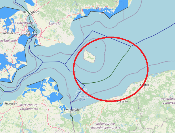
maritime boundaries between Denmark and Poland
An equidistance-based maritime boundary between Denmark (Bornholm) and Poland would extend generally eastwards then northeast for approximately 70 nm to a Denmark-Poland-Sweden tripoint in the vicinity of the western terminus
of the Poland-Sweden continental shelf and fishing zones boundary of 1989. Article 2 of the 1989 treaty defines the western end of the boundary, Point A, as being located at 55° 21,640’ N, 16° 32,000’ E. West of Point A it is stated that the boundary ‘shall extend as far as the points on which agreement is reached with any third State concerned’. Thus, the western tripoint with Germany appears to be somewhat better defined than that with Sweden, though neither should present the parties with particular difficulties as equidistance is accepted as the basis for the Denmark (Bornholm)-Poland delimitation.
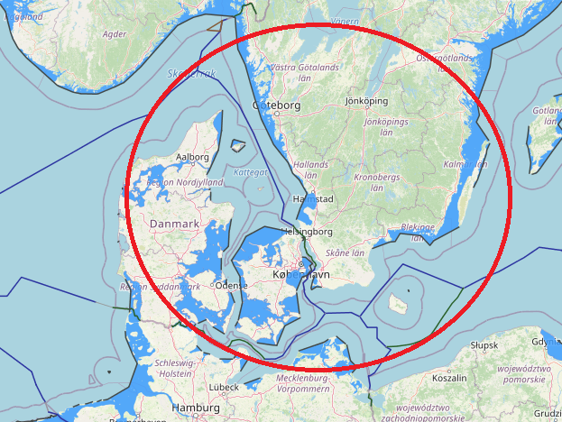
maritime boundaries between Denmark and Sweden
Denmark and Sweden maritime boundaries(in territorial sea and continental shelf) based on equidistance-median line system. on 30 January 1932, Denmark and Sweden concluded a territorial sea boundary stretching 63nm through the Oresund. The territorial waters (12 nautical miles) of Denmark form a border with Sweden along the Øresund, extending to 115 km.
View More maritime boundaries between Denmark and Swedenmaritime boundaries between Denmark and Norway
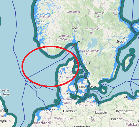
the common principle for delimitation of maritime boundaries between Norway and Denmark based on median and equidistance line. they have many faced place against together which many of them solved via agreements and one of them solved by ICJ decision. The border between the Danish and Norwegian EEZ runs along the Skagerrak, between Faroer and Norway in the North Sea and between Greenland and Norwegian Svalbard in the Arctic. in below see their agreements and ICJ judgement in Jan Mayen and green land case.
View More maritime boundaries between Denmark and Norwaymaritime boundaries between Denmark and Great Britain
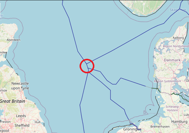
In 1963 Denmark was the first mainland state to surround an overseas archipelago, the Faroe Islands, with a set of straight baselines. The archipelago has…
View More maritime boundaries between Denmark and Great Britainmaritime boundaries between Germany and Denmark
The Kingdom of Denmark has existed with its current territory since 1920. The only land border of Denmark (proper) is that with Germany, with a…
View More maritime boundaries between Germany and Denmark
