In 1963 Denmark was the first mainland state to surround an overseas archipelago, the Faroe Islands, with a set of straight baselines. The archipelago has…
View More maritime boundaries between Denmark and Great Britain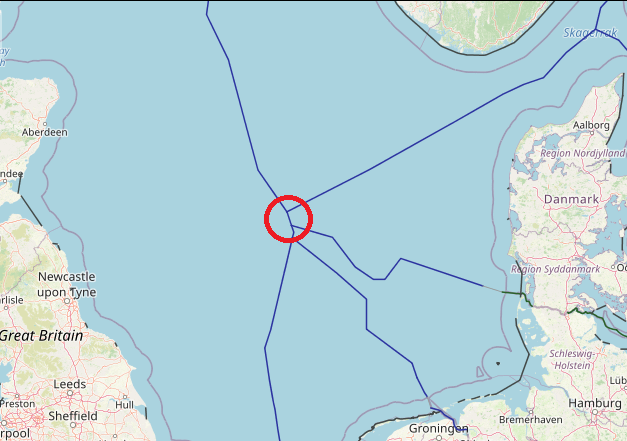
In 1963 Denmark was the first mainland state to surround an overseas archipelago, the Faroe Islands, with a set of straight baselines. The archipelago has…
View More maritime boundaries between Denmark and Great Britain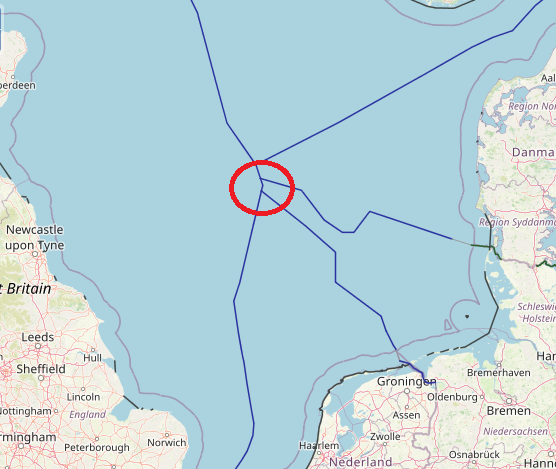
In the North Sea, there exists a comprehensive network of continental shelf boundaries – something that can be attributed to the positive and close relationships…
View More maritime boundaries between Germany and Great Britain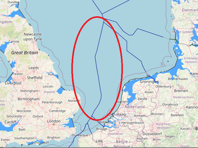
maritime boundaries between Great Britain and Netherlands, Great Britain, Great Britain continental shelf map, Great Britain exclusive economic zone map, Great Britain internal and territorial waters map, Great Britain maritime claims, netherlands, Netherlands boundaries in the North Sea, Netherlands continental shelf map, Netherlands EEZ map, Netherlands exclusive economic zone map, Netherlands internal waters map, Netherlands maritime boundaries, Netherlands maritime claims\, Netherlands straight baseline, Netherlands territorial sea map, Netherlands territorial waters map, UK, UK continental shelf map, UK EEZ map, UK exclusive economic zone map, UK internal waters map, UK maritime boundaries, UK maritime claims, UK territorial waters map
View More maritime boundaries between Great Britain and Netherlands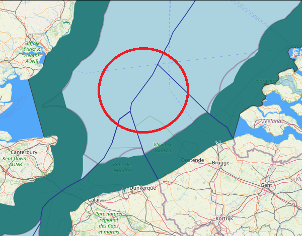
maritime boundaries between Belgium and Great Britain,
View More maritime boundaries between Belgium and Great Britain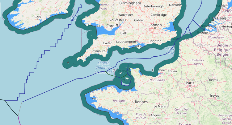
The border between the countries of France and the United Kingdom in Europe is a border that stretches along the Channel, the North Sea, the…
View More maritime boundaries between France and U.K(Great Britain and northern Ireland)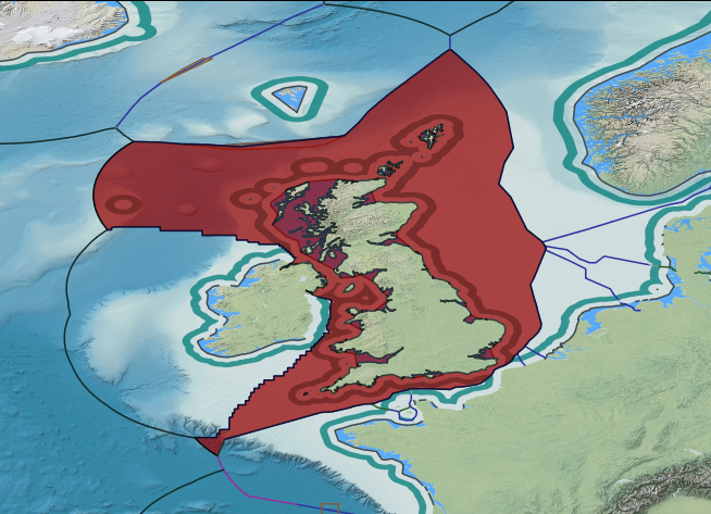
Great Britain, Great Britain continental shelf map, Great Britain exclusive economic zone map, Great Britain internal and territorial waters map, Great Britain maritime claims, Maritime Claims, UK, UK continental shelf map, UK EEZ map, UK exclusive economic zone map, UK internal waters map, UK maritime boundaries, UK maritime claims, UK territorial waters map
View More UK maritime claims about outer limit of extended continental shelf and exclusive economic zone