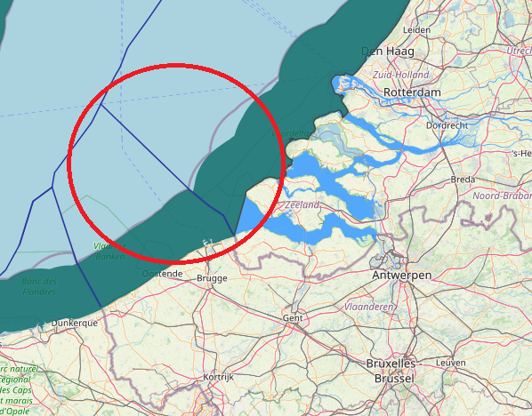
maritime boundaries between Belgium and Netherlands, The Agreement of 1996 between Belgium and the Netherlands delimiting the continental shelf provided that “If one of the Contracting Parties decides to establish an exclusive economic zone, the coordinates, as indicated in Article 1, shall be used for its lateral delimitation.” In the absence of such a provision or a subsequent agreement, it cannot be assumed that a boundary agreed for the continental shelf necessarily applies equally to an EEZ if one has been proclaimed.
View More maritime boundaries between Belgium and NetherlandsTag: Belgium Maritime claims
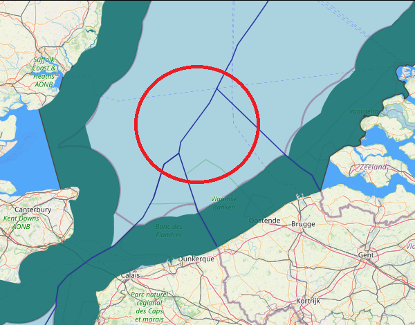
maritime boundaries between Belgium and Great Britain
maritime boundaries between Belgium and Great Britain,
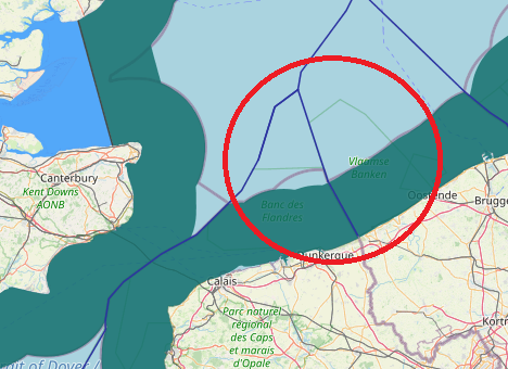
View More maritime boundaries between Belgium and Great Britainmaritime boundaries between France and Belgium
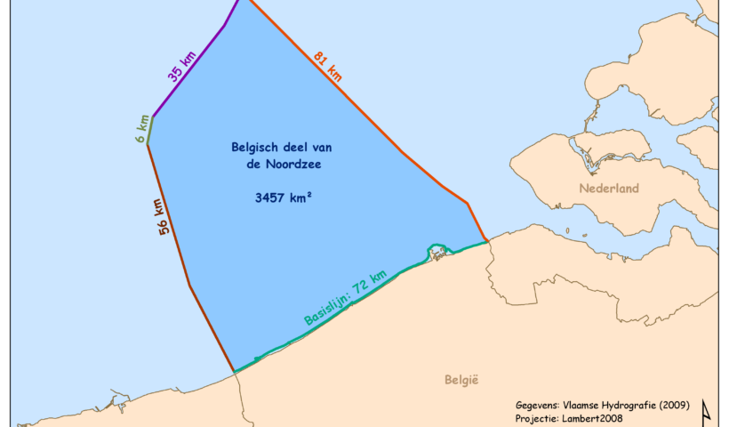
Belgium faces the sea for about 4.5% of its total boundaries. Its outlet to the southern North Sea, as a result, only measures 66.5 km.…
View More maritime boundaries between France and BelgiumBelgium claims for outer limit lines of the continental shelf and territorial sea
Belgium claims for outer limit lines of the continental shelf and territorial sea, Belgium, Belgium Maritime claims, continental shelf, Maritime Claims
View More Belgium claims for outer limit lines of the continental shelf and territorial sea


