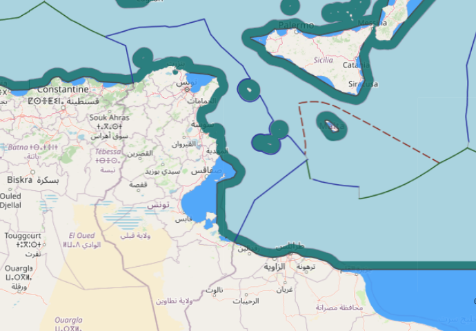
The geography of the area of delimitation in this case is characterized
by a large triangular indentation of the North African coast between Ras
Kaboudia, Tunisia and Ras Tajoura, Libya. The area of the common land
boundary is fairly even and straight in the direction of the coastline.
Further north-west, though, the island of Jerba (Jazirat Jarbah), the
significant concavity of the Gulf of Gabes (Kalij Qabis), the almost
rectangular change of direction of the coast within the Gulf, and finally
the archipelago of the Kerkennah Islands (Juzur Qarquanna) are
prominent features of the area. These constitute the complicating
geographical elements that led to this dispute.

