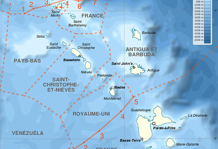
The establishment of continental shelf zones and exclusive economic zones
(EEZs) considerably increased the number and length of the maritime
boundaries between coastal states. A 1983 survey identified some 376
international maritime boundaries between 137 coastal states around the
globe. In 1988, the US Department of State gave a figure of 412 demarcations
required. Eventually, additional boundaries arose due to the advent
of new states and the breaking-up of the Soviet Union. Yet another
generation of boundaries will result from climate change and accessibility
to resources in the Arctic waters.

