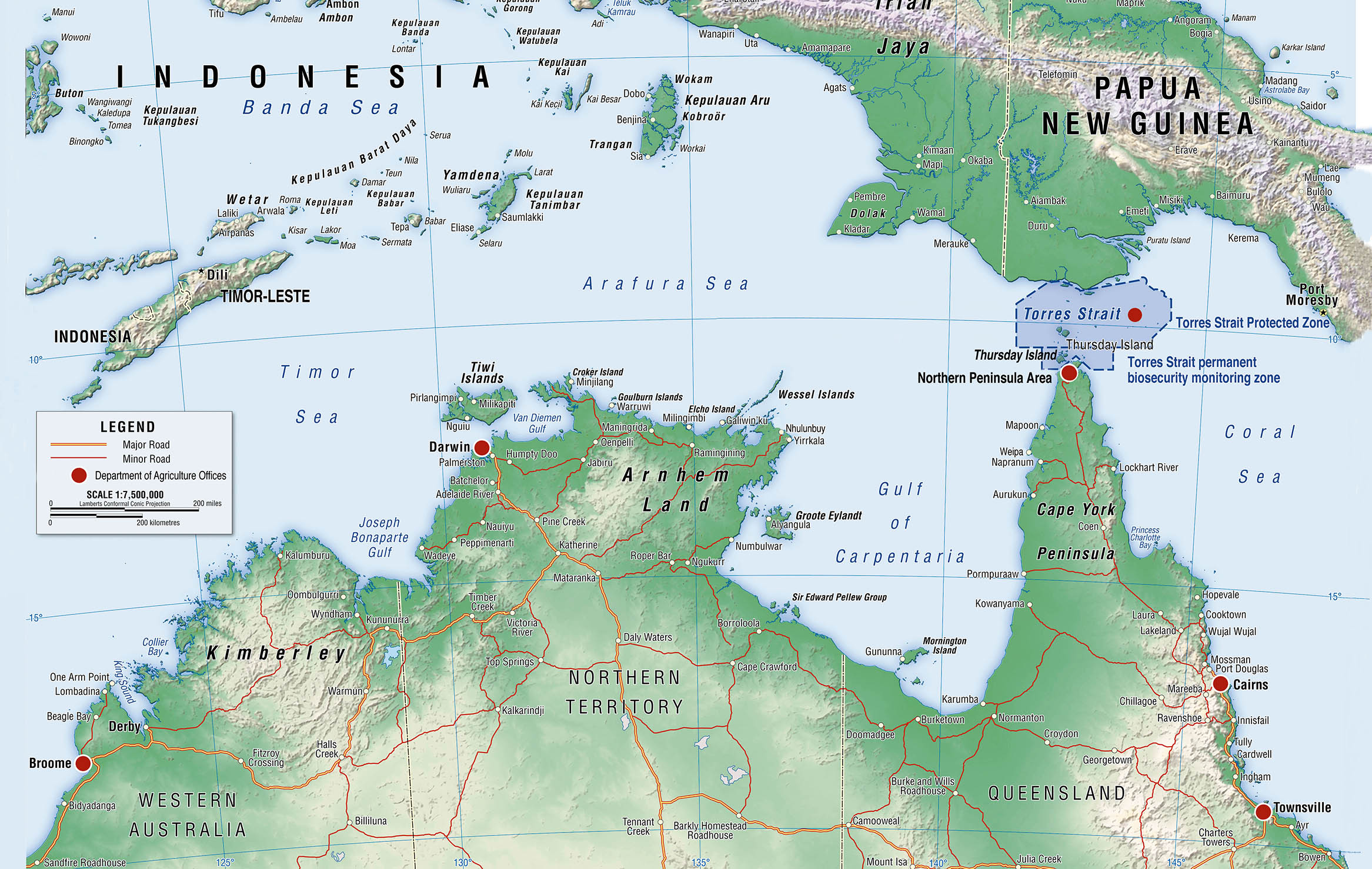
The Torres Strait has been defined as the area of water between Cape York Peninsula in Australia’s extreme north coastline and the islands of New Guinea. It is bounded in the west by the Arafura Sea and in the east by the Great Barrier Reef and the Coral Sea. The strait is about 81 miles (150 km) wide and almost 108 miles (200 km) long between the islands at its eastern and western ends. The strait is, however, shallow and contains reefs and many small islands.
View More Navigational Regimes of Particular Straits, Torres Strait case studyMonth: July 2021
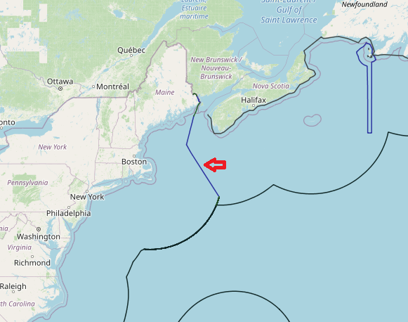
Maritime boundaries between United States of America and Canada(in Atlantic sea)
On 25 November 1981, Canada and the United States notified to the Court a Special Agreement whereby they referred to a Chamber of the Court the question of the delimitation of the maritime boundary dividing the continental shelf and fisheries zones of the two Parties in the Gulf of Maine area. This Chamber was constituted by an Order of 20 January 1982, and it was the first time that a case had been heard by an ad hoc Chamber of the Court.
View More Maritime boundaries between United States of America and Canada(in Atlantic sea)

