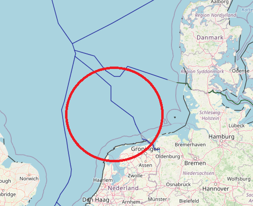
The maritime boundary with Germany for the Continental Shelf is laid down in 2 treaties: one for the Continental Shelf near the coast, and one for further offshore.
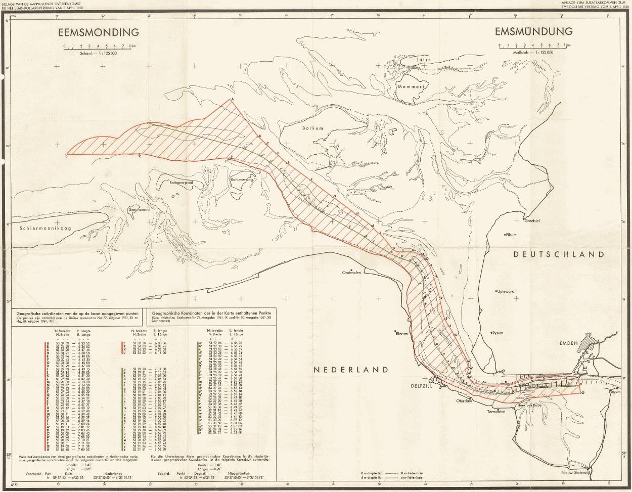
The Netherlands and Germany have not yet agreed on the boundary of the territorial sea near the Ems estuary. Yet, there is a treaty with agreements on cooperation: the Ems-Dollard Treaty. A supplementary agreement has been added to this treaty. It only deals with the exploration and exploitation of oil and gas. The borders of the treaty and the Supplementary Agreement do not match.
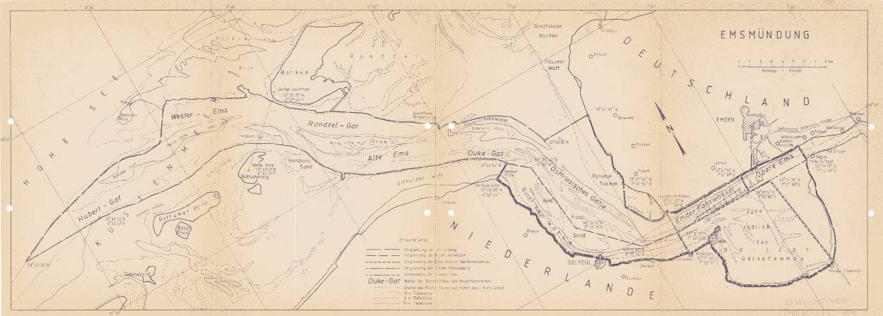
The maritime border is disputed in a part of the Ems estuary outside the Dollart bay, where Germany has the view that the state border runs on the left bank of the Ems, while the Netherlands regards the Thalweg as its border. This is based on interpretations of old treaties. Germany relies on a bill of enfeoffment from 1464, when German Emperor Frederick III raised Ulrich I, the son of a local chieftain to the status of Imperial Count, in which the County of East Frisia
It is described as “von der Westeremse osterwards” (thus including the Ems). According to the Netherlands, this has lapsed in the French period – after the incorporation in France of both areas of West Frisia (now part of the Dutch provinces of Groningen and Friesland) and East Frisia (now part of the German state of Lower Saxony). Thus according to international law, the boundary should be at the center of the navigation channel.
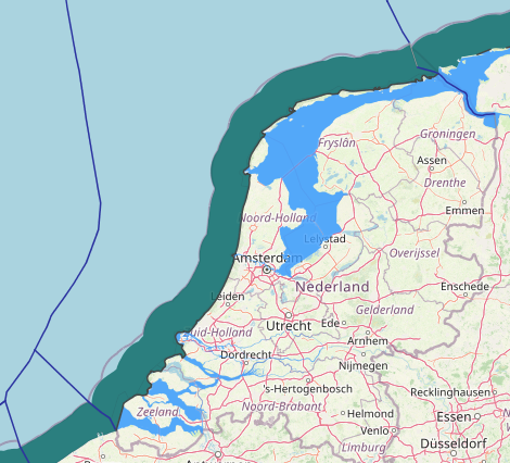
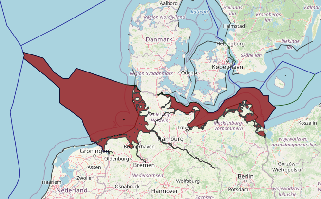
The baseline of the Netherlands in the North Sea is changing in time. The effects of these changes are illustrated by two examples, one of the juridical situation in the Eems-Dollard boundary region with Germany and one of a case against fishermen in the Zeeland region near the Scheldt estuary. We conclude that it is necessary to provide maritime limits to the diverse group of professional users of these limits in other ways than the traditional hydrographic chart.
The UNCLOS baseline of the Kingdom of the Netherlands in the North Sea consists of a combination of straight and normal baselines. The normal baselines are the zero metre depth lines as depicted on the most recent large-scale nautical chart. They are subject to natural accretion and erosion, and in addition are affected by man-made causes. The gentle slope and sandy character of the coast cause considerable changes in the position of the baseline, like the emergence and disappearance of low-tide elevations near the Scheldt estuary in the Zeeland province and the entrance channels of the Wadden Sea. The normal baselines change every time a new edition of a large scale nautical chart is published.
Therefore, the recent transition of the chart datum of the Netherlands from mean lower low water at spring tide (MLLWS) to lowest astronomical tide (LAT) has been an additional cause of baseline change. The principle of this change in chart datum to a lower level is illustrated. The lower LAT-datum places the normal baselines in a more seaward position. Before June 2006, all relevant charts were published in MLLWS. The last relevant nautical chart in MLLWS was replaced by a new LAT-edition in August 2008. In the intermediate period, the
baseline consisted of a mix of normal baselines in MLLWS and LAT.

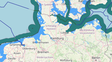

There is no maritime boundary between The Netherlands (Western islands) and Germany (Eastern islands) to delimit the Territorial Sea. The current 3M limit and the current 12 M limit are shown. The Eems-Dollard (ED) treaty of 1960 is limited to the intersection of the 6 m depth line and the outer limit of the territorial sea, at that moment 3 M from the baseline. The Supplementary Agreement to the Eems-Dollard treaty is limited to the 3 M limit in 1962.